
Biome Viewer

Thanks to Hannah Steel for the link to this useful visualisation tool.

Biomeviewer displays a range of information in a visual way.

It's really useful for identifying biomes in a general way, and rotating the globe to see where they are located and identifying their characteristics.

There are accompanying resources in a folder, student worksheet and apparently an iOS app too.

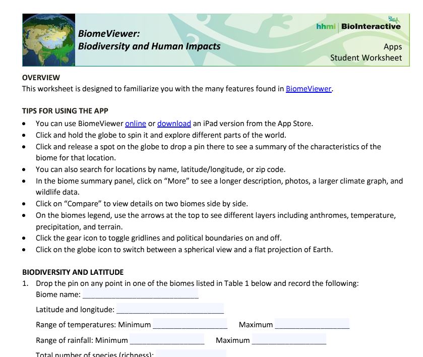
The worksheet takes students through the various features which are built into the app.


You can also explore anthromes: anthropogenic biomes. These are where the majority of humanity lives.

A classification proposed by E.C. Ellis, October 25, 2005 lists them. Minimum mapping scale greater than or equal to one square kilometer.


There is a lot more information and some useful maps on this website too, which is the new home of the previous link. Lovely work and I now want to do something with this as well...

Comments

Popular posts from this blog

Ideal scenery

Check out this Robert MacFarlane tweet, and the replies that follow for a whole host of ideas on different people's ideal landscapes... Some wonderful images and brief descriptions ideal for sharing... "Tramlines and slagheaps, pieces of machinery, That was, and still is, my ideal scenery." WH Auden Question: what is your "ideal scenery"? pic.twitter.com/8QLS0HRZt9 — Robert Macfarlane (@RobGMacfarlane) July 6, 2017

The path more travelled

I'm currently reading Nicholas Crane's new book on the history of Britain's footpaths: how they came about originally following the drowning of Doggerland , and were then refined by successive waves of change: horses, the Roman invasion etc. It's a dense and scholarly work, with plenty of points of interest and relevance to geographers exploring the connections between people and the landscape. He's taking his book on the road in a series of talks, with three confirmed so far. Here's the description for his talk at Stanford's book shop at the end of the month . He's also speaking in Exeter and Stamford. Walking is a cornerstone of British identity and the most popular form of exercise in the UK. But how much do we know about the paths that we walk? What is their history? Why do they follow the routes that they do? Are they permanent? Can we designate more of them?​ The Path More Travelled is a coast-to-coast history of footpaths from the stone age paths...

Glacier Melt Visualisation

This nice interactive infographic visualises the ice loss from Switzerland's glaciers. It is one of several from the VisQuill site , developed by Dr. Benjamin Niedermann.