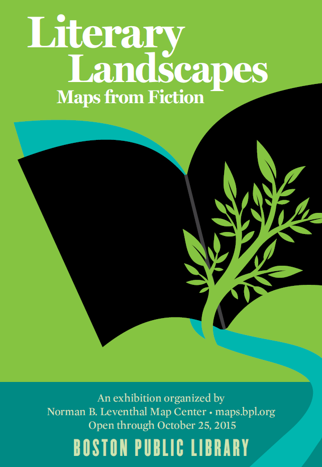
Literary Landscapes: maps from fiction

Ll

This exhibition took place in 2015, but is available virtually.

Maps of imaginary places have accompanied literature for centuries. 
Visualizing the fanciful worlds described in works of fiction sets the stage for events taking place in a story, and often provides insight into the characters themselves. 
In this exhibition of forty items, visitors will discover maps from a variety of fictional genres, learn how authors create imaginary worlds, and appreciate why descriptive geography is essential to the story. People and creatures, even those who exist only in tales, are related to place, and maps of their imaginary worlds allow readers to be transported into the geography of fantasy.

And this is just one of several exhibitions which can be visited virtually at the same venue.

This one on Geography in the Classroom is particularly good.
I like the look of this game
Loto des 5 parties du monde

Thanks to David Cooper for the tipoff.

Comments

Popular posts from this blog

Ideal scenery

Check out this Robert MacFarlane tweet, and the replies that follow for a whole host of ideas on different people's ideal landscapes... Some wonderful images and brief descriptions ideal for sharing... "Tramlines and slagheaps, pieces of machinery, That was, and still is, my ideal scenery." WH Auden Question: what is your "ideal scenery"? pic.twitter.com/8QLS0HRZt9 — Robert Macfarlane (@RobGMacfarlane) July 6, 2017

The path more travelled

I'm currently reading Nicholas Crane's new book on the history of Britain's footpaths: how they came about originally following the drowning of Doggerland , and were then refined by successive waves of change: horses, the Roman invasion etc. It's a dense and scholarly work, with plenty of points of interest and relevance to geographers exploring the connections between people and the landscape. He's taking his book on the road in a series of talks, with three confirmed so far. Here's the description for his talk at Stanford's book shop at the end of the month . He's also speaking in Exeter and Stamford. Walking is a cornerstone of British identity and the most popular form of exercise in the UK. But how much do we know about the paths that we walk? What is their history? Why do they follow the routes that they do? Are they permanent? Can we designate more of them?​ The Path More Travelled is a coast-to-coast history of footpaths from the stone age paths...

Glacier Melt Visualisation

This nice interactive infographic visualises the ice loss from Switzerland's glaciers. It is one of several from the VisQuill site , developed by Dr. Benjamin Niedermann.