I've been creating a GeoLibrary this year, with 365 books to be placed on the virtual shelves of the library. Quite a few of them are related to landscape, which is not surprising given my interests. One book that I have just added to the shelves is an important one for anyone teaching about the landscape (which should be everyone of course)
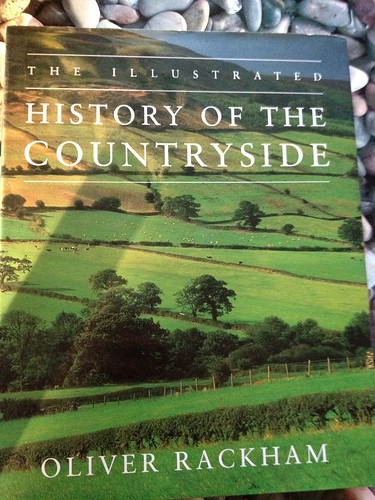 This is a classic book, and has been published in a number of different editions over the years.
It was written in the 1980s.
It explains how the British countryside came about, through a range of processes which in some cases date back hundreds (or even thousands) of years.
This edition is an illustrated version / adaptation which adds some really useful extra images to the text.
The book is framed around a series of walks, which take the walker through some of the processes which shaped the landscape. One of them is at Holme-next-the-Sea in Norfolk, and I have walked that route many times.
There is plenty here on vernacular geography and how it has shaped many of the distinctive areas of the UK.
It was written in the 1980s.
It explains how the British countryside came about, through a range of processes which in some cases date back hundreds (or even thousands) of years.
This edition is an illustrated version / adaptation which adds some really useful extra images to the text.
The book is framed around a series of walks, which take the walker through some of the processes which shaped the landscape. One of them is at Holme-next-the-Sea in Norfolk, and I have walked that route many times.
There is plenty here on vernacular geography and how it has shaped many of the distinctive areas of the UK.
Comments